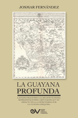
This book by Professor Josmar Fernández, on La Guayana Profunda, Las exploraciones a la región Guayana, sus representaciones cartográficas y su impacto en la controversia por la Guayana Esequiba, analyzing the Explorations of the Guayana Region, its Cartographic Representations and its Impact on the Controversy between the United Kingdom and Venezuela over the Guayana Esequiba, is an attempt to interpret documentary and cartographic sources that can give us indications of how was the process of territorial occupation of the Guayana region, particularly of the Guyana Essequiba. The controversy over the Essequibo territory has its origins in a causal event such as, between the end of the sixteenth and seventeenth centuries, the unfolding of the process of conquest and colonization of "new lands" by the European crowns. Once the legend of El Dorado was known, this provoked interest in exercising control over these territories rich in natural resources, through the imposition of their belief system. For the European conquerors, the inhabitants of those territories were savages and had no greater organization, so, in the name of God and/or the King, they tried to establish order, and sought to bring these uncivilized peoples out of the darkness. The Spanish occupation rested, significantly, on missionary action, which was entrusted with at least two issues: catechizing the natives and taking note and reporting on the characteristics of the territory, the population and the available resources; that is, to gather strategic information from these still unknown regions. At the same time, military sources revealed the challenges they had to face to guarantee, efficiently and effectively, the defense of the Guayana region, including differences with the ecclesiastical authorities.


