New Map of Empire: How Britain Imagined America Before Independence
De (autor): S. Max Edelson
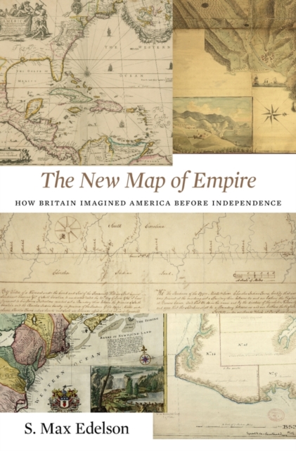
In 1763 British America stretched from Hudson Bay to the Keys, from the Atlantic to the Mississippi. Using maps that Britain created to control its new lands, Max Edelson pictures the contested geography of the British Atlantic world and offers new explanations of the causes and consequences of Britain’s imperial ambitions before the Revolution.
-15%
transport gratuit
PRP: 303.80 Lei
Acesta este Pretul Recomandat de Producator. Pretul de vanzare al produsului este afisat mai jos.
258.23Lei
258.23Lei
303.80 LeiPrimesti 258 puncte

Primesti puncte de fidelitate dupa fiecare comanda! 100 puncte de fidelitate reprezinta 1 leu. Foloseste-le la viitoarele achizitii!
Indisponibil
X
Pentru a putea comanda rapid este nevoie sa introduceti numarul dvs de telefon in formatul 0xxxxxxxxx (10 cifre).Un operator Libris.ro va suna si va cere telefonic restul datelor necesare.
Descrierea produsului
In 1763 British America stretched from Hudson Bay to the Keys, from the Atlantic to the Mississippi. Using maps that Britain created to control its new lands, Max Edelson pictures the contested geography of the British Atlantic world and offers new explanations of the causes and consequences of Britain’s imperial ambitions before the Revolution.
Detaliile produsului
S-ar putea sa-ti placa si
Parerea ta e inspiratie pentru comunitatea Libris!


