


Children's Illustrated World Atlas
Children's Illustrated World Atlas
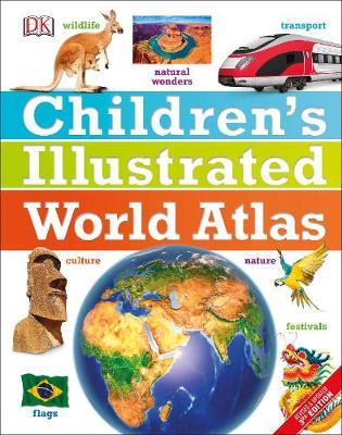
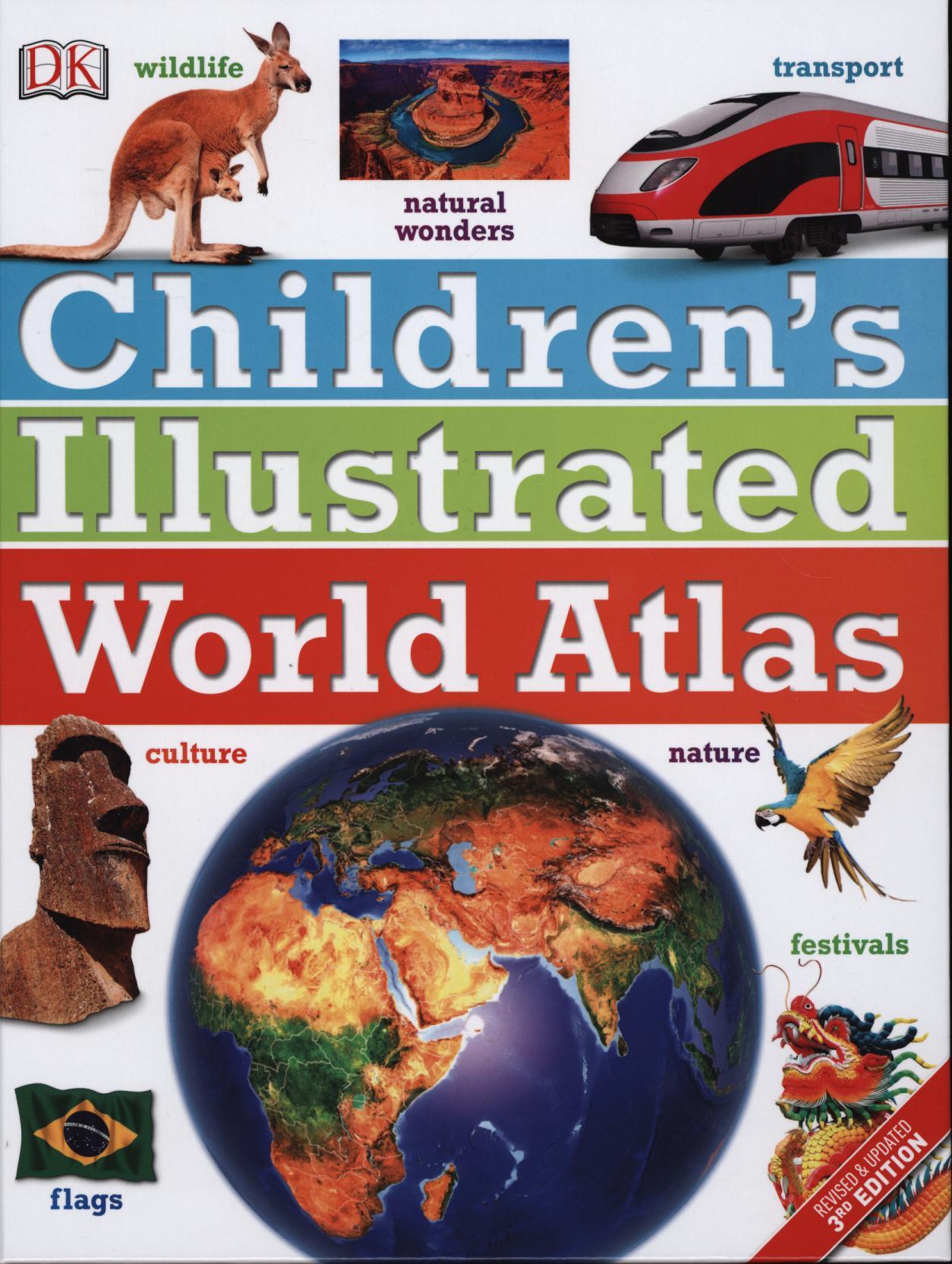
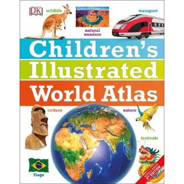
The stunning Children's Illustrated World Atlas takes young readers on the ultimate round-the-world trip. It not only portrays regions such as the Siberian wastes with a beautifully detailed map, it also shows and tells you what it is like to roam across them as a Nenets reindeer herder.
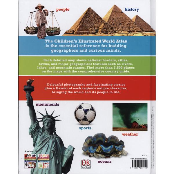
Using stunning modern mapping, based on the latest seamless, cloud-free satellite image data together with facts, maps, satellite images, and local stories, this atlas is a global yet personal experience. From Bolivia's bustling markets to carnival in Venice, the Children's Illustrated World Atlas brings together views from windows all over the world.
Using stunning modern mapping, based on the latest seamless, cloud-free satellite image data together with facts, maps, satellite images, and local stories, this atlas is a global yet personal experience. From Bolivia's bustling markets to carnival in Venice, the Children's Illustrated World Atlas brings together views from windows all over the world.
PRP: 101.86 Lei
Acesta este Pretul Recomandat de Producator. Pretul de vanzare al produsului este afisat mai jos.
91.67Lei
91.67Lei
101.86 LeiPrimesti 91 puncte

Livrare in 2-4 saptamani
Descrierea produsului
The stunning Children's Illustrated World Atlas takes young readers on the ultimate round-the-world trip. It not only portrays regions such as the Siberian wastes with a beautifully detailed map, it also shows and tells you what it is like to roam across them as a Nenets reindeer herder.
Using stunning modern mapping, based on the latest seamless, cloud-free satellite image data together with facts, maps, satellite images, and local stories, this atlas is a global yet personal experience. From Bolivia's bustling markets to carnival in Venice, the Children's Illustrated World Atlas brings together views from windows all over the world.
Using stunning modern mapping, based on the latest seamless, cloud-free satellite image data together with facts, maps, satellite images, and local stories, this atlas is a global yet personal experience. From Bolivia's bustling markets to carnival in Venice, the Children's Illustrated World Atlas brings together views from windows all over the world.
Detaliile produsului
De pe acelasi raft
-

PRP: 90.49 Lei
81.44 Lei
81.44 Lei90.49 Lei
-
PRP: 557.68 Lei
501.91 Lei
501.91 Lei557.68 Lei
-
PRP: 247.69 Lei
222.92 Lei
222.92 Lei247.69 Lei
-
PRP: 346.80 Lei
312.12 Lei
312.12 Lei346.80 Lei
-
PRP: 238.00 Lei
214.20 Lei
214.20 Lei238.00 Lei
-
PRP: 180.76 Lei
162.68 Lei
162.68 Lei180.76 Lei
-
PRP: 231.20 Lei
208.08 Lei
208.08 Lei231.20 Lei
-
PRP: 122.26 Lei
110.03 Lei
110.03 Lei122.26 Lei
