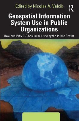
Geospatial Information System Use in Public Organizations: How and Why GIS Should Be Used in the Public Sector
De (autor): Nicolas A. Valcik

Geospatial Information System Use in Public Organizations: How and Why GIS Should Be Used in the Public Sector
De (autor): Nicolas A. Valcik
This book shows how Geospatial Information Systems (GIS) can be used for operations management in public institutions. It covers theory and practical applications, ranging from tracking public health trends to mapping transportation routes to charting the safest handling of hazardous materials. Along with an expert line-up of contributors and case studies, the editor provides a complete overview of how to use GIS as part of a successful, collaborative data analysis, and how to translate the information into cost-saving decisions, or even life-saving ones.
-10%
transport gratuit
PRP: 392.18 Lei
Acesta este Pretul Recomandat de Producator. Pretul de vanzare al produsului este afisat mai jos.
352.96Lei
352.96Lei
392.18 LeiPrimesti 352 puncte

Primesti puncte de fidelitate dupa fiecare comanda! 100 puncte de fidelitate reprezinta 1 leu. Foloseste-le la viitoarele achizitii!
Livrare in 2-4 saptamani
Poti comanda acest produs introducand numarul tau de telefon. Vei fi apelat de un operator Libris.ro in cele mai scurt timp pentru prealuarea datelor necesare.
Pentru a putea comanda rapid este nevoie sa introduceti numarul dvs de telefon in formatul 0xxxxxxxxx (10 cifre).Un operator Libris.ro va suna si va cere telefonic restul datelor necesare.
Descrierea produsului
This book shows how Geospatial Information Systems (GIS) can be used for operations management in public institutions. It covers theory and practical applications, ranging from tracking public health trends to mapping transportation routes to charting the safest handling of hazardous materials. Along with an expert line-up of contributors and case studies, the editor provides a complete overview of how to use GIS as part of a successful, collaborative data analysis, and how to translate the information into cost-saving decisions, or even life-saving ones.
Detaliile produsului
De pe acelasi raft
Parerea ta e inspiratie pentru comunitatea Libris!


